This post contains some affiliate links. As an Amazon Associate, if you purchase through my links, I earn from qualifying purchases. I might receive a small commission, at no additional cost to you. Thanks for your support!
If you’re looking for hiking trails in the Fort McMurray region, I’ve narrowed it down to four places to explore. Two of the hikes north of the city are loops with less-maintained trails but beautiful areas nevertheless. In the city, the one-directional trails are gorgeous for an afternoon of hiking, with wide-open spaces to take in your surroundings. The trails outside the city will provide less touristy places to hike. In Fort McMurray, it’s busier with walkers, but not immensely crowded, and it feels nice to get outside.
Table of Contents
Crane Lake Hike
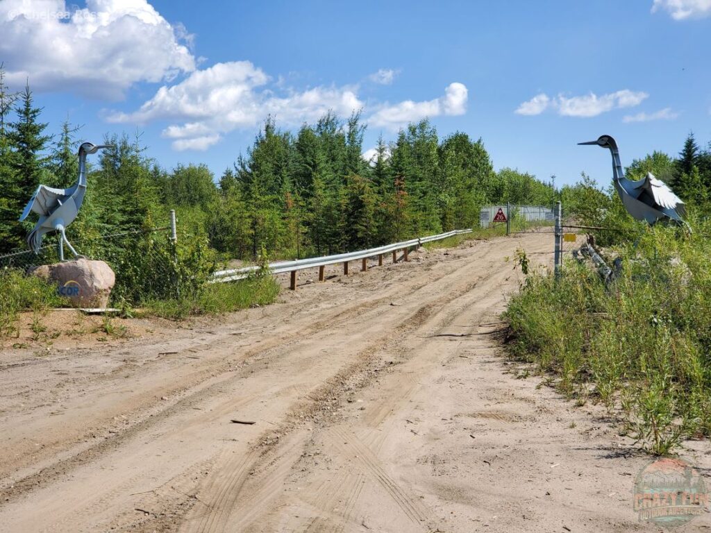
The parking lot greets hikers with two cranes on either side of the road.
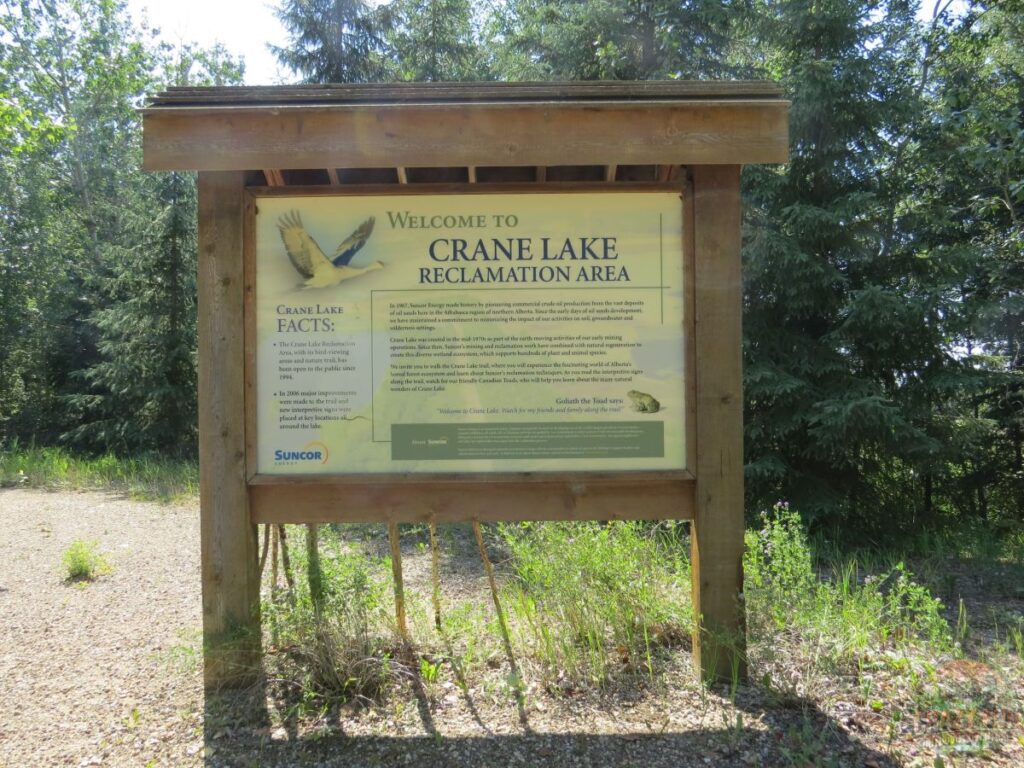
Crane Lake Reclamation Area, a thirty-minute drive north of Fort McMurray, welcomes hikers with an outhouse and a sign about the area and what you’ll see along the way. It was an interesting place to hike.
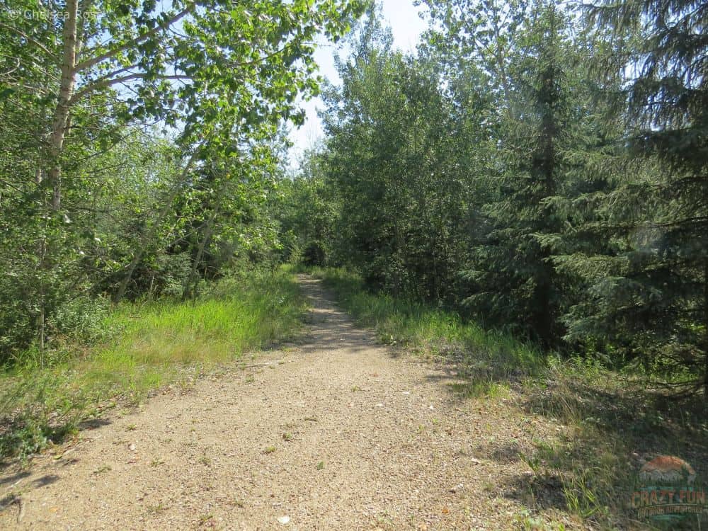
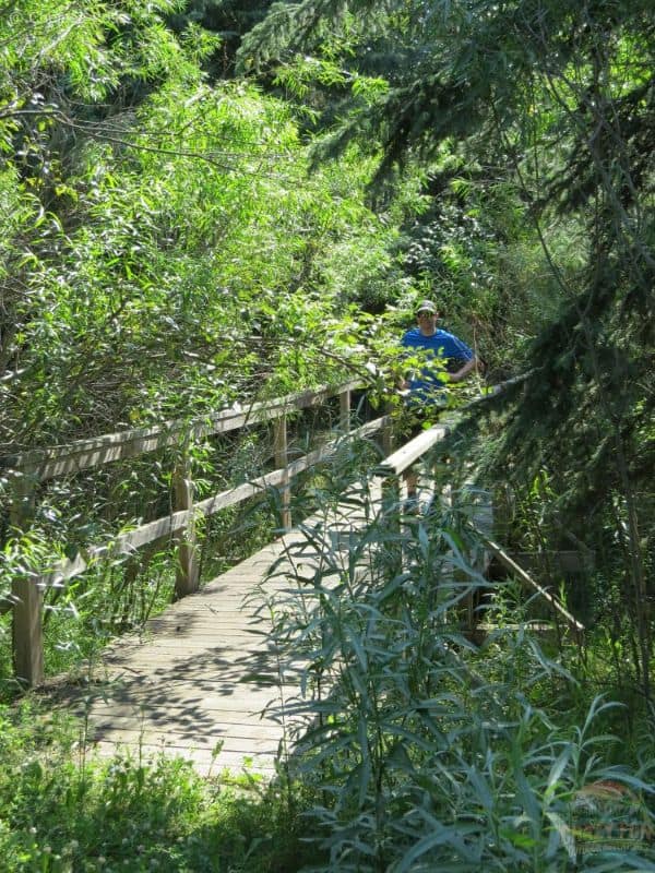
There is a gravel path to start the trail. Although narrow, this part was maintained.
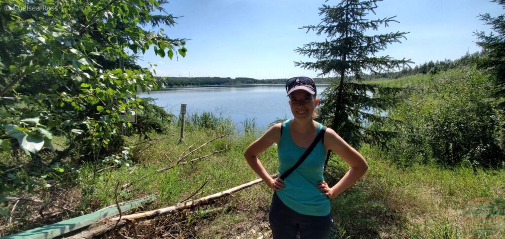
We got a view of part of the lake.
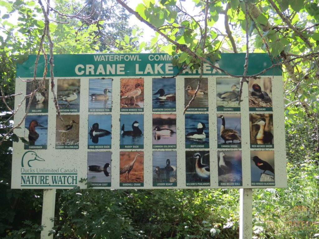
At the lake, a sign explains the many different kinds of birds that can be spotted.
Different Birds
Many bird species can be seen with their families swimming in this lake.
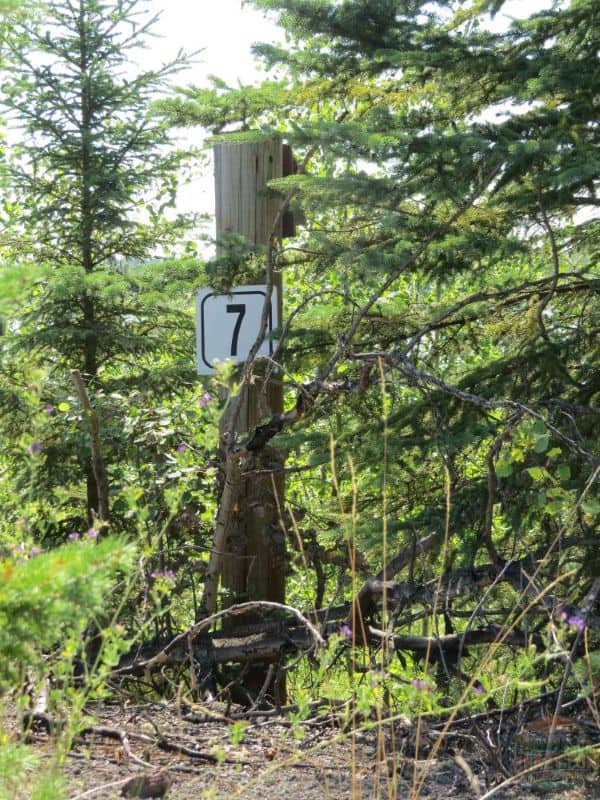
We enjoyed checking out the bird shelters behind the posts at different locations around the lake. They are marked with different numbers, like number seven in this picture to help scientists identify the different birds.
Poorly Maintained Trail
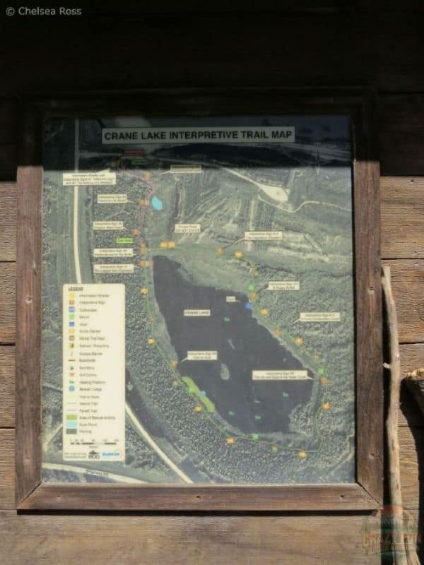
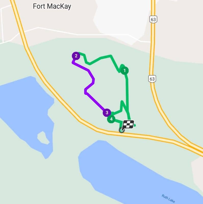
A map indicates that it’s possible to go around the entire lake.
Unfortunately, when we were there, we left the lake view to go farther into the bush, and the trail became difficult to traverse as tall grass overtook it. It was poorly maintained. Kris and I weren’t able to go very far. We felt there was a high chance of encountering a black bear, which is a risk we didn’t want to take, even with our bear horn, so we turned around.
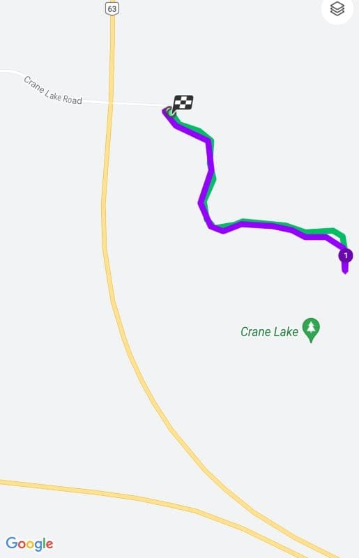
The map shows how far we were able to get.
Tip: Make the most of exploring a new location, even if expectations aren’t met. Appreciate seeing a variety of birds on a gorgeous lake that isn’t crowded with tourists; we only saw two other people in that area.
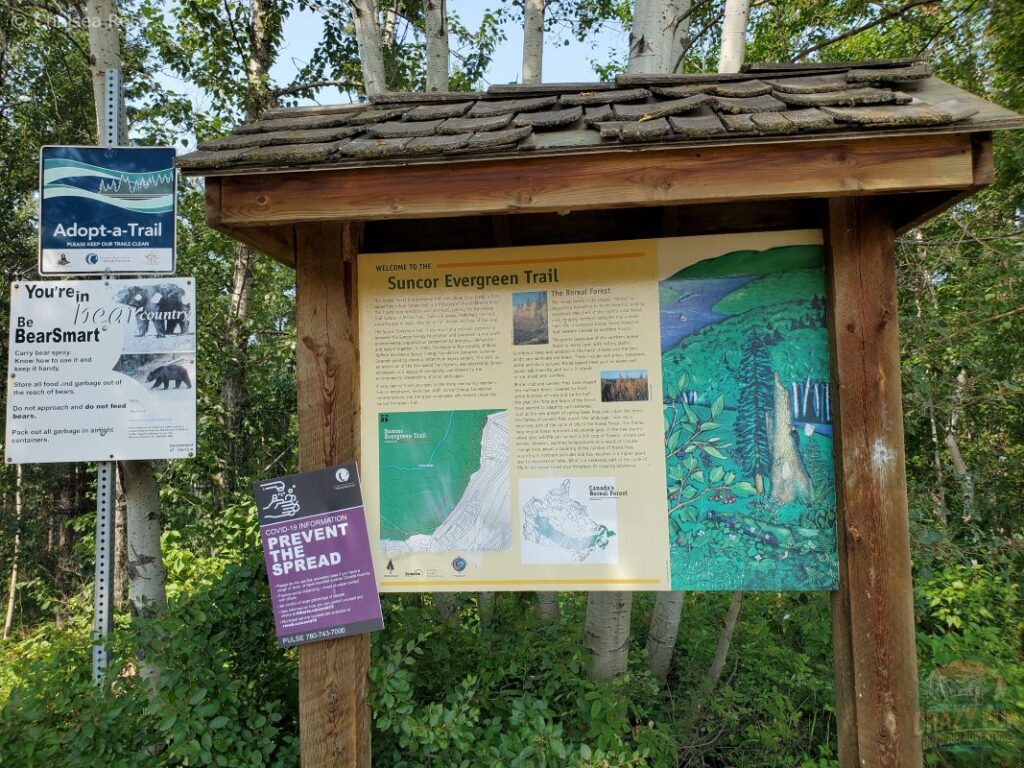
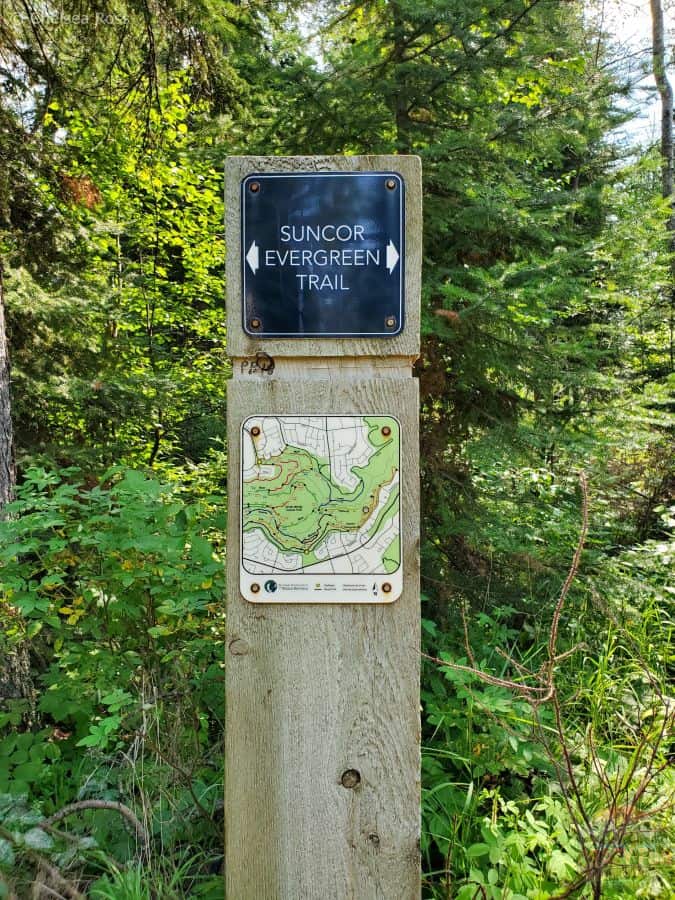
Matcheetawin Discovery Hiking Trails, Fort McMurray
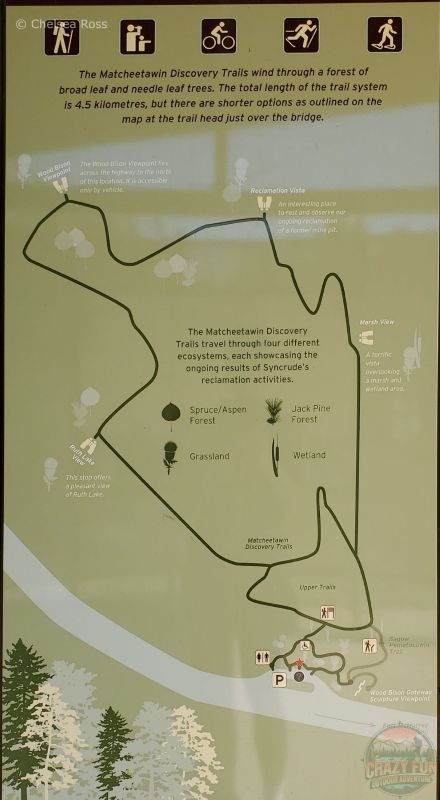
The Matcheetawin Discovery Hiking Trails (located 27 kilometres north of Fort McMurray) offer various directions for exploration. A picnic area is available at the base, close to the parking lot and outhouses. Further to the east, a viewpoint of Wood Bison sculptures can be seen. If you walk north from there, the trail brings you to Sagow Pematosowin, meaning living in peaceful co-existence with the land. Further north west, there are two loops: the upper and middle trails. The outer three-kilometre loop is longer, and the middle 0.8-kilometre loop is much smaller. To hike the entire area took me approximately 1 hour and 15 minutes.
Picnic Area
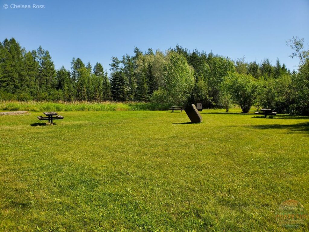
This picnic area features a gorgeous green space, picnic tables, and garbage cans. It’s a fantastic place to eat before or after your hike. This spot offers a large space if you’re looking for a gathering area. If you decide to explore, the inner loop has plenty of room to hike side by side, allowing three people wide on the trail. It might feel good to stretch those legs after a long drive and get some fresh air with a short loop.
Tip: Keep an eye out for bears. They tend to stay away if you have a conversation with your partner to let the bears know that you’re in the area.
Wood Bison Gateway Sculpture Viewpoint
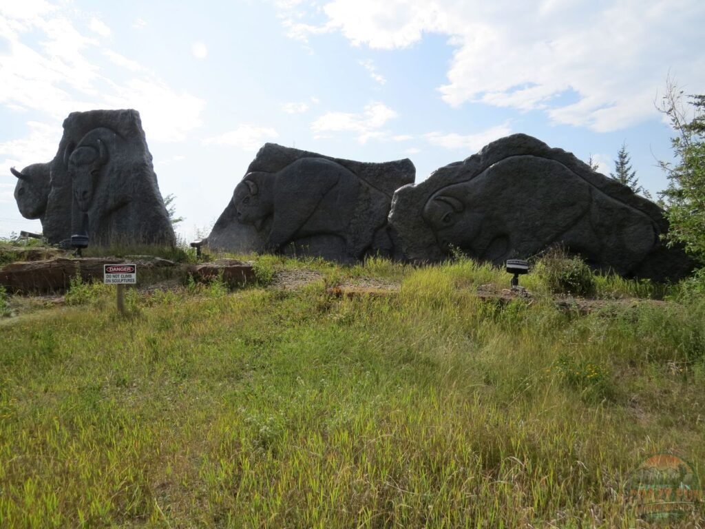
The Wood Bison gateway sculpture viewpoint is neat to see. Climbing on sculptures is prohibited for everyone’s safety. It’s just a few minutes to the right of the parking lot for couples to see. It’s best to take a few pictures with your partner and then head to the picnic tables for a meal or a snack.
Sagow Pematosowin Hiking Trails Fort McMurray
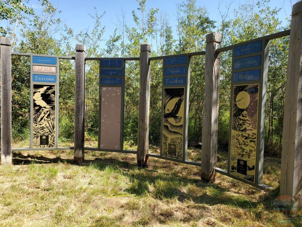
Sagow Pematosowin (meaning ”living in peaceful co-existence with the land”) near Fort McMurray features signs arranged in a circle to illustrate the circle of life and describe different parts of our lives. It shows words in Cree and English such as birth, growth, infant, explore, mature, adult, work, age and elder. Each word is represented by a specific picture that describes it. It’s interesting to stand in the middle and take in our entire lives from that spot, with the earth surrounding us, before hiking along the different trails in the region.
Upper Trail
As mentioned above, the outer loop is 3 kilometres.
Hiking Trail Conditions Fort McMurray
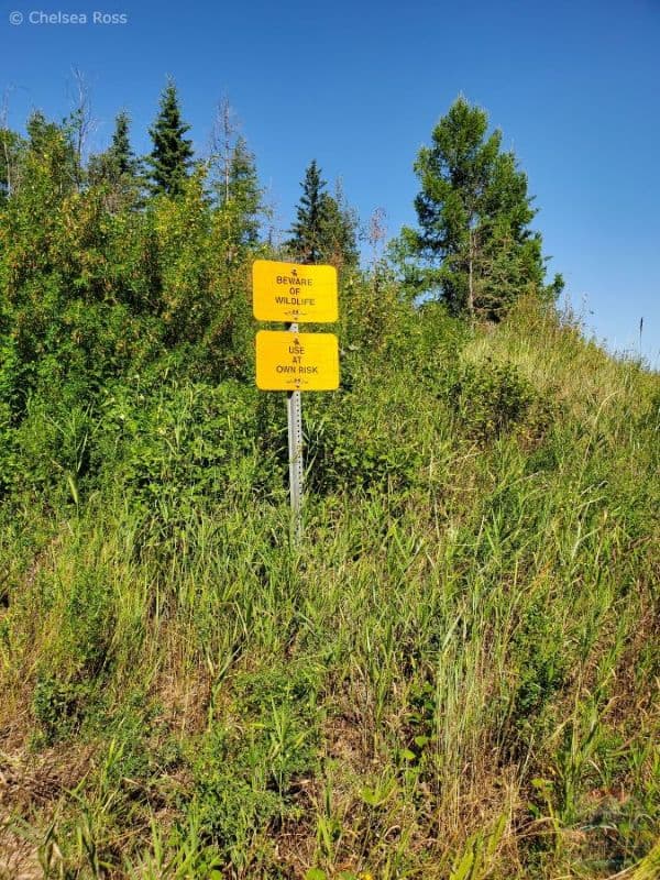
The upper trail is three kilometres long and starts with many signs warning hikers to beware of wildlife and to use the trails at their own risk.
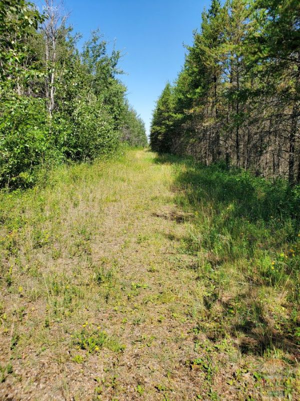
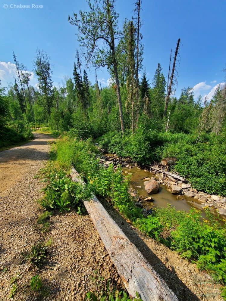
The upper trail was wide and well-maintained, with debris cleared at the start.
Beware of Wildlife
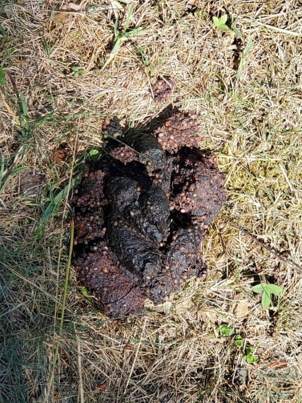
I was warned about bear poop near the start of the trail, and I did find it.
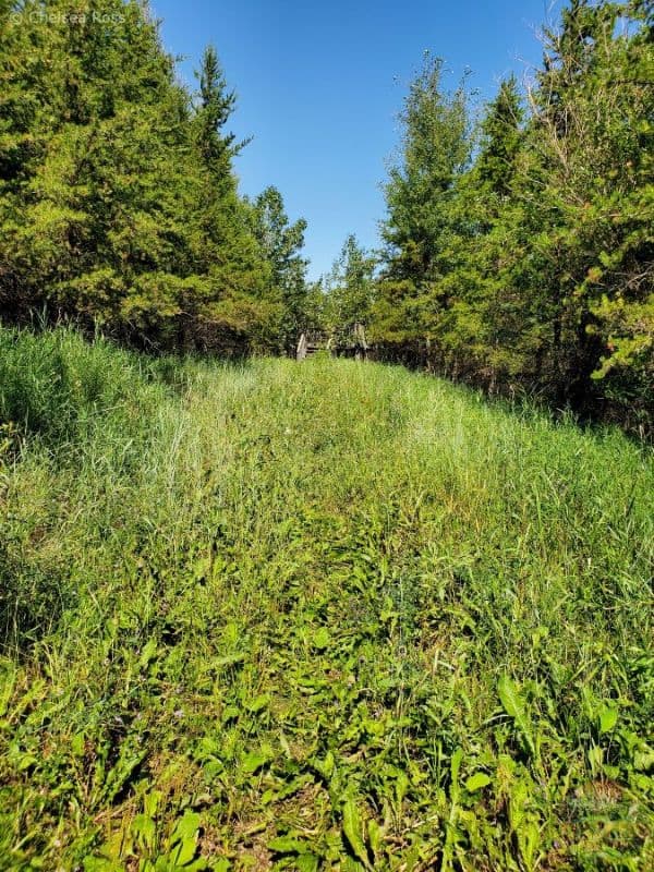
As I got further along the way, grass took over the path, making it feel enclosed and even more likely to encounter a bear. Not wanting to quit, having just started one of the hiking trails in Fort McMurray, I proceeded forward.
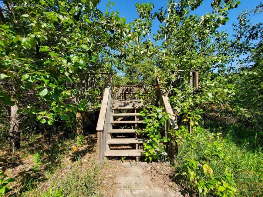
The first platform was covered by uncut branches and spider webs.
The viewpoints are no longer visible with overgrown trees blocking the sight. It’s probably why many people don’t frequent these hiking trails. But, if you’re interested in a hike in the woods and are open-minded to pushing through the tall grasses, the hike is doable with the right gear (bear bell and horn) to protect yourself against a possible bear sighting.
Keep having conversations or make noise to keep the bear away. I never saw a bear. With proper precautions, it’s possible to avoid seeing the bear. I was extremely proud of myself for not quitting and completing the trail! It was also awesome to get exercise in a new environment.
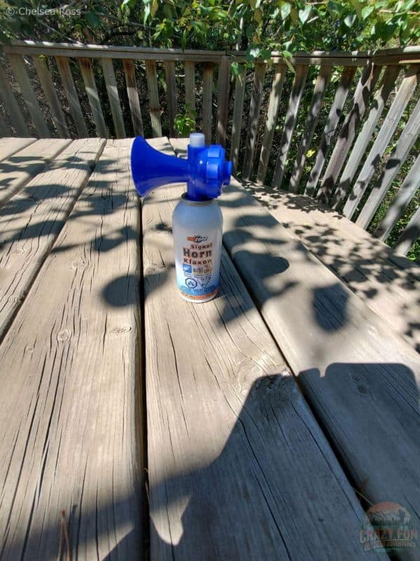
I made sure to have my bear bells making noise on my Osprey Tempest 24 Pack as I walked, and my horn with me in case I’d have to use it.
Tip: Since I was alone while Kris worked, as an additional precaution, I often screamed “heyo” to let a potential bear know I was also sharing its space and wanted to be left alone. Conversations also work if you’re with someone. If you’re alone, singing warns the bear that a hiker is around. It’s important to constantly make noise when you know a bear could be close.
Screaming “bear bear bear” isn’t a good idea in case other hikers are around. It could scare them into thinking you’ve encountered a bear.
Thankfully, further platforms were cleared, and I was able to sit for a few minutes.
Pushing Past Your Comfort Zone
It’s easy to say no, I won’t take the chance in case I see a bear, but then there’s a possibility of missing out on so many things in life. That’s not my personality, so I decided I could succeed with the right course of action. I can’t promise you that you won’t see a bear, but maybe consider saying yes and trying something new? I was nervous, but I pushed through because I didn’t want to miss out on another trail since we didn’t go very far around Crane Lake.
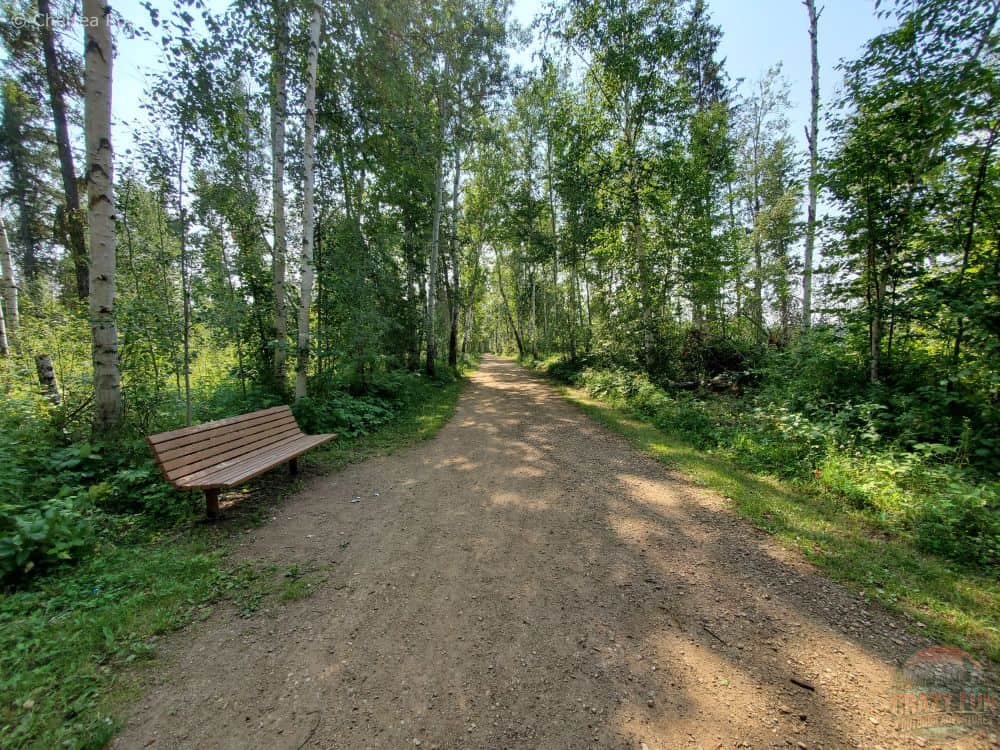
Middle Trail
The middle 0.8-kilometre trail was shorter but maintained. It allowed large groups to travel together side by side while enjoying many different conversations. There aren’t many viewpoints, but it offers the opportunity for some exercise.
Tip #1: If you feel more confident hiking on a maintained trail, you can hike this one multiple times if you want.
Birchwood Hiking Trails Fort McMurray
The map shows how far I went on the Birchwood Hiking Trails.
At the start of the trail, it warns you of possible bears in the area. Fort McMurray is known for its black bears; be bear prepared with your loud voice, bear bell, and horn.
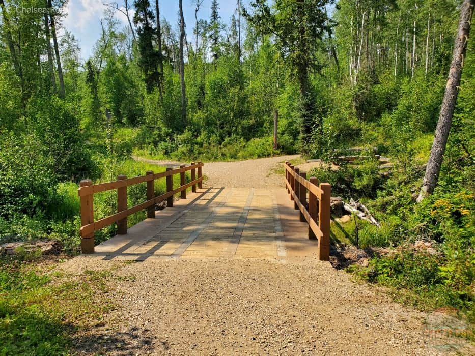
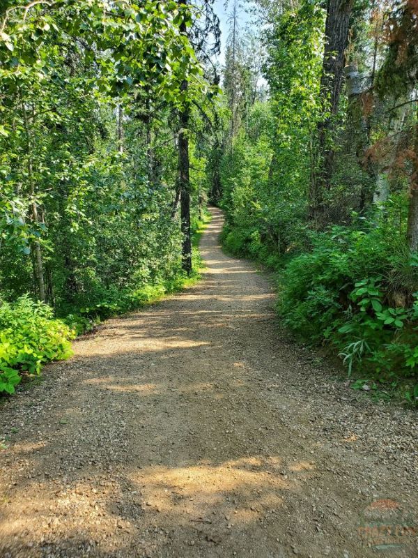
Well-Maintained Hiking Trails in Fort McMurray
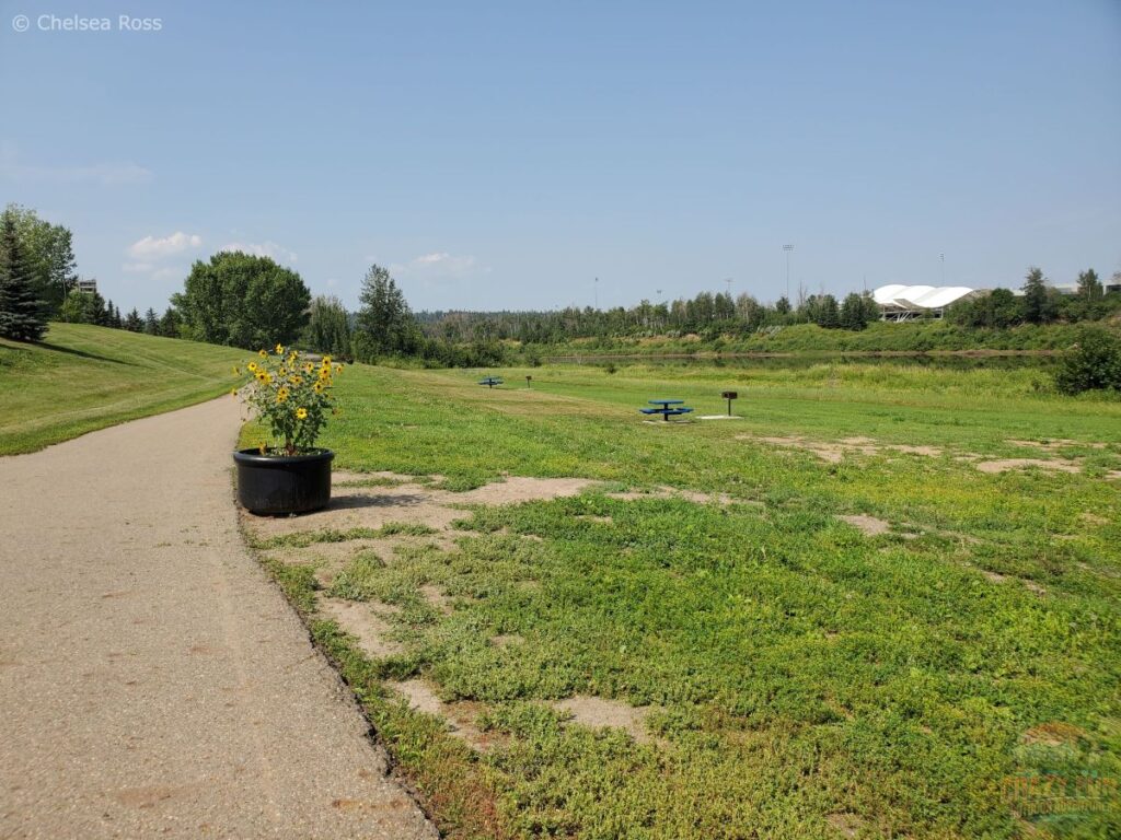
Seats and picnic tables are available throughout the park if you need a break for a snack or a place to eat your lunch.
The Birchwood hiking trails in the middle of the city are maintained. If this is more your style and you feel more comfortable hiking here than on the previous two hikes I mentioned outside the city, consider going there. To find a place to park, I googled “Birchwood hiking trails in Fort McMurray” and used Google Maps to find a parking spot in the neighbourhood. When you zoom in on the map, green dotted lines appear, showing the trails. If you move the orange guy to a selected spot on the map, it indicates where the trails start, helping you pick a parking spot.
Tip #1: If possible, I try to park along the grass, away from houses, to be courteous.
Tip #2: I put my Samsung tracker on to keep track of where I’m going, the total kilometres hiked, and where I started. It’s easy to get lost if you don’t know your surroundings in an unfamiliar city.
Maps are located throughout the Birchwood trails to help figure out your current location.
Enjoyable Hiking Trails
Depending on your hiking destination and how long you have, going in a loop may be possible; otherwise, you’ll have to backtrack.
The trails offer some shade in parts, depending on the sun’s position.
The trails offer a variety of difficulties to accommodate hikers of all skill levels. There are trails for everyone. It’s a wonderful place to spend a couple of hours; I hiked for one and a half hours.
The trails are nice and wide, a fantastic place to bring your partner. It’s easy to choose different trails to explore.
Depending on the weather, if it’s sunny, make sure to apply lots of sunscreen to prevent a sunburn. It was very hot when I was out walking.
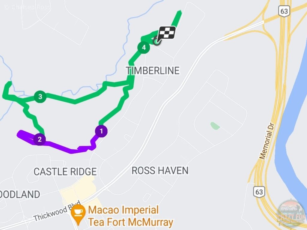
Hiking Trails along Clearwater River, Fort McMurray
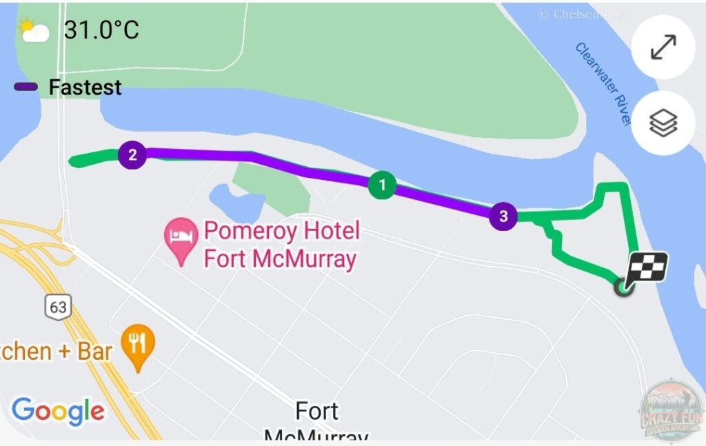
The map shows where I started and how far I went.
To hike along Clearwater River, I started near Snye Point Boat Launch (which offers plenty of free parking) and walked to MacDonald Drive and back.
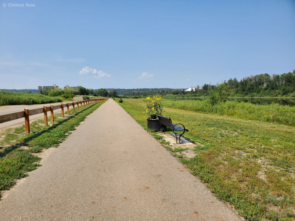
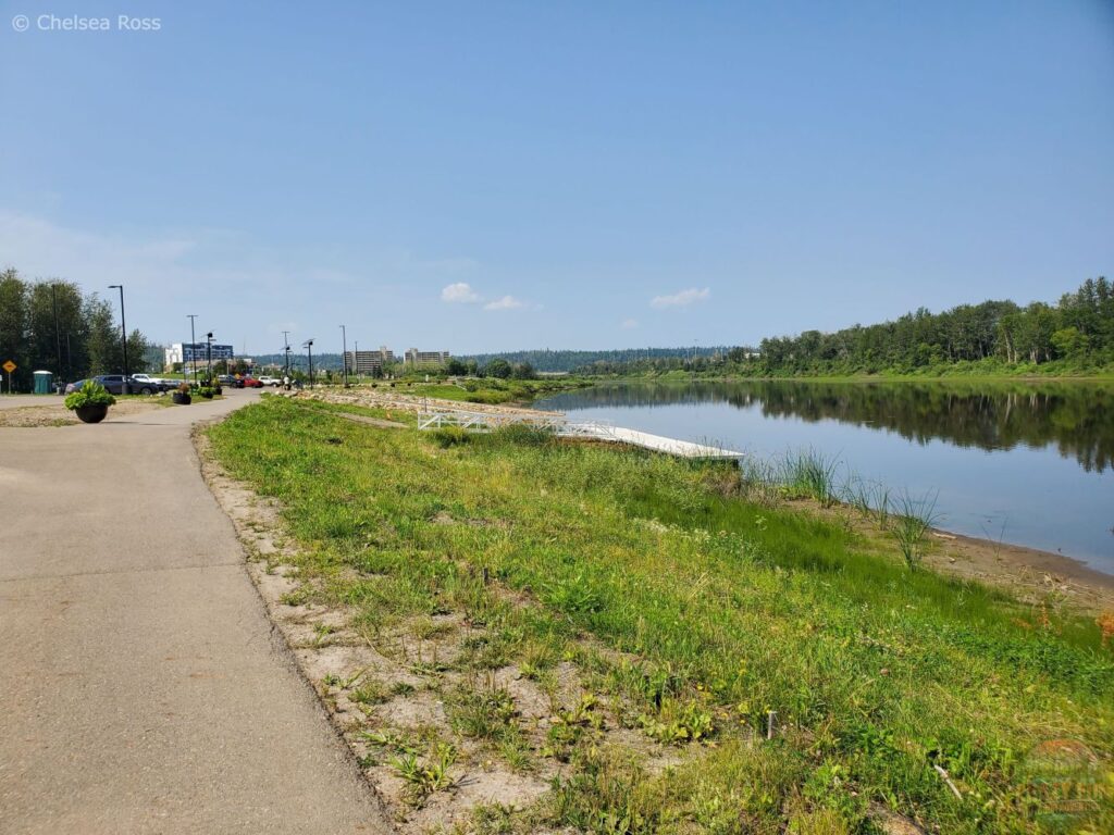
The path is paved the entire way with lots of room to walk.
There are picnic tables and green spaces along the way if you want to stop and eat.
Tip: Bring a MEC seat cushion for a comfy place to sit on the grass or on a picnic bench.
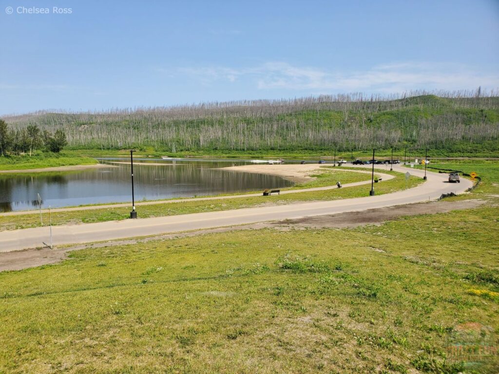
The trail is gentle and easy, offering a view of the golf course and the river to the north. It can be quite sunny without shade. Make sure to bring sunscreen with you if it’s a nice day outside. It took forty-five minutes to walk there and back. Not a super long hike, but enjoyable to be walking in the city to get some exercise. You’ll be required to go back through a south side neighbourhood to make it into a loop.
What to Wear?
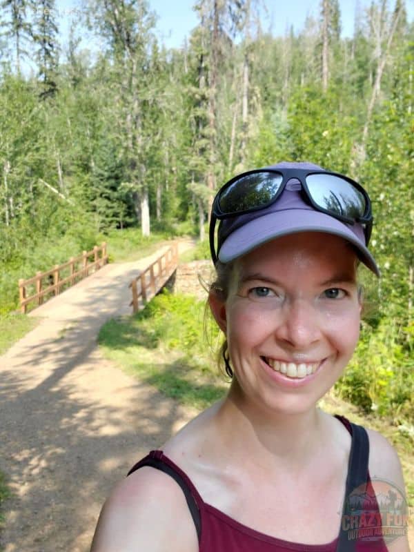
These different layers kept me comfortable while hiking.
- ICTIVE Workout Tank Tops for Women
- 100% Merino Wool – Women’s Midweight Base Layer – Long Sleeve Crew – Burgundy (for colder temperatures)
- Columbia Women’s Powder Lite II Hooded Jacket, Black (to use if it’s windy or cold)
- Columbia Women’s Silver Ridge Utility Convertible Pant, Stone Green
- SmartWool Women’s Hike Light Cushion Margarita Crew Socks, Purple Eclipse
- La Sportiva Women’s Nucleo High II GTX Wide Hiking Boots
Where to Stay?
Microtel Inn & Suites by Wyndham is a nice place to stay, located near Beacon Hill, south of downtown and just on the outskirts as you leave town. They have a variety of rooms available with a continental breakfast included.
Final Thoughts
Where would you like to hike around Fort McMurray? Outside to the north of the city, on the Birchwood hiking trails, or near the river? The trails offer a place to escape the hustle and bustle of life and enjoy time outdoors. All of them require bringing a bear horn and bells to deter black bears. Talking to your partner can help. If you’re hiking by yourself, singing can help notify the bears that you’re sharing their space in the outdoors.
Crane Lake offers awesome sightings of many birds enjoying life with their families. Matcheetawin Discovery Hiking Trails in Fort McMurray offers many cool places to explore, depending on your comfort level and what you want to see. The river is a short hike if you want a quick place to walk, and the Birchwood Hiking Trails allow you to hike a short or long distance. The choice is yours, go have fun!
Additional Links
- Epic 4 Day Jasper Summer Itinerary for Adventurous Couples
- Hiking Near Nordegg: Where Should I Go?
- Where Can I Find Spectacular Waterton Fall Hikes?
- 7 Gorgeous Hikes Near Banff
- City to Wilderness Hiking: Where to Start?
Trip Resources
- Book your flights with Expedia
- Book your hostel through Hostelworld.com
- Book your hotel with Booking.com or Hotels.com
- Book your vacation rental with Vrbo
- Book your experiences through Viator, Tripadvisor or Manawa
Leave a Reply